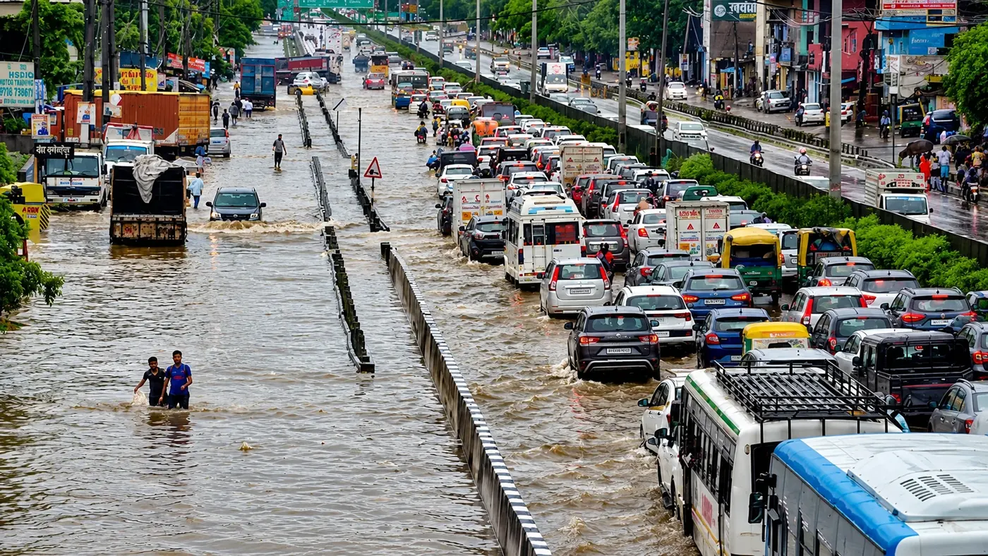
Waterlogged roads
Road conditions may change between available updates.

MONSOON-READY SMARTER TRAVEL
Compare route options using recent rainfall context, mapped streets and reviewed observations. See the trade-offs and uncertainties before you travel.
 Dated rainfall context
 Evidence-aware route planning
 Transparent model limits
 Built for monsoon journeys



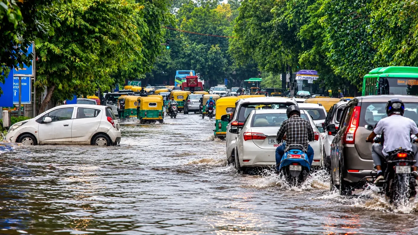
Sudden waterlogging can disrupt routes and delay journeys. Public weather information and local observations are useful, but they rarely provide complete street-by-street certainty.
MonsoonRoute brings available evidence and its limitations into one decision workflow.
Road conditions may change between available updates.

Compare detours and travel-time costs with available evidence.
No route estimate can certify a road safe to traverse.
The pilot combines dated weather signals, a bounded road network and human-reviewed observations. Estimates describe relative exposure, not measured flood depth or guaranteed safe passage.
Review methods and limitationsWeather & rainfallMapped pilotReviewed road Route alternativesTravel-time trade-offs
Weather preview is not proof of street flooding. Open the planner to select supported road points and evaluate available route options.
Source-specific timestamps and limitations appear with the forecast.
Nine fixed Open-Meteo grid cells, next three hours. Weather is not road flooding evidence.
Retrieving verified rainfall data…
Practical planning tools that keep evidence boundaries visible.
Time-stamped weather information with source and freshness limits.
Compare supported pilot roads using bounded exposure estimates.
Understand which inputs contributed to a route decision.

Consistent planning and reporting workflows across screen sizes.
Make better-informed decisions about the routes available to you.

Compare travel options before heading to campus.

Consider disruptions and extra travel-time trade-offs.
Review road observations and their freshness.

Use mapped pilot segments to assess route alternatives.
Explore the mapped pilot, compare available routes and check conditions beyond any model estimate.